Corridors of vegetation across the Bass Coast Shire
Bass Coast is a region that encompasses both coastal and rural environments and contains significant pockets of native vegetation. This native vegetation cover is made up of woodlands, native grass lands and salt marshes and is home to many rare and threatened species.
Bass Coast Shire Council developed a Biodiversity Biolinks Plan in 2018 to increase the amount of native vegetation cover across the region. In 2017, the native vegetation coverage was mapped and found that we have lost 86% of our native vegetation which leads to problems like erosion, loss of species and poor water quality.
The plan identifies where wildlife corridors should be placed in the landscape to protect what vegetation is remaining and build linkages between these patches to allow animals to move between for breeding to increase the genetic diversity of populations.
Bass Coast Shire Council and the community are committed to restoring native vegetation and aim to revegetate around 200 hectares per year in response to the climate change emergency that has been declared in the shire.
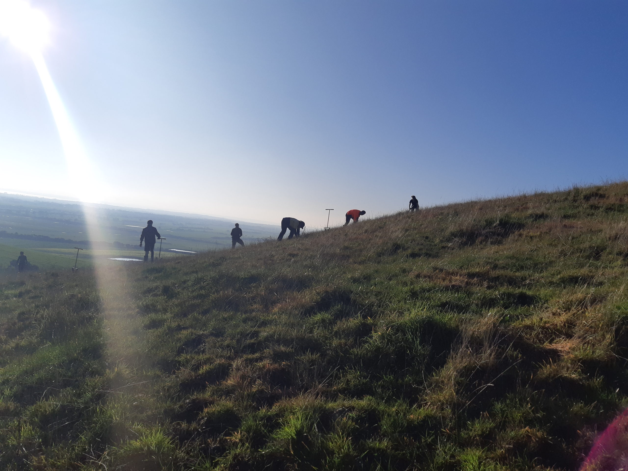
The biolinks program has been very successful over recent years with over 1,150,000 native trees, shrubs and grasses planted across the shire in the past 3 years. The Bass Coast Landcare Network and Council have a great working partnership and are able to harness the enthusiasm of volunteers and school groups to assist with plantings along waterways, gullies and coastline to improve water way health and connectivity in the landscape.
Themes and Local Areas
| Primary Theme: | Native vegetation |
| Other Themes: | Waterways, Wetlands, Native Animals, Land Use, Soil Health, Estuaries, Communities, Climate Change |
| Primary Local Area: | Bass Coast, South Gippsland & islands |
| Other Local Areas: | – |
| Project location: | Over 200 potential biolinks are identified throughout Bass Coast Shire. They cover the Bass River and the many tributaries that run into the river. It also takes in large tracts of remnant vegetation along the coastal foreshores as well as the woodlands at Grantville and Gurdies which are under threat from the extractive mining industries and agriculture. Roadside vegetation and linear corridors are captured as these contain important habitat for animals. |
| Scale of the project: | Landscape scale |
| New or continuing work: | Continuing/building on previous work |
Project partners
| Lead organisation: | Bass Coast Shire Council |
| Key partners: | Department of Energy, Environment and Climate Action (DEECA), West Gippsland Catchment Management Authority (WGCMA), Parks Victoria, Bass Coast Landcare Network, Phillip Island Nature Parks, South Gippsland Water, Westernport Water, Melbourne Water, Trust for Nature, Greening Australia, Western Port Biosphere Foundation, Bass Coast Shire Rural Engagement Group, Bunurong Land Council Aboriginal Corporation, Community members |
| Registered Aboriginal Party/s relevant to the project or its area: | Bunurong Land Council Aboriginal Corporation |
Investment opportunities
| Opportunities for investors within this project start from: | $$$ (Hundreds of thousands of dollars) |
| Estimated scale of investment for full project implementation: | $$$$ (Millions of dollars) |
| Estimated timeframe for full project implementation: | 10+ years |
Contribution toward targets
| Primary Regional Catchment Strategy target and contribution to its achievement: | Major new biolinks – Significant, sustained revegetation programs have been undertaken from 2021 to 2050 and have created numerous major biolinks in priority locations across the region |
| Relevant Biodiversity 2037 goal: | Revegetation of priority areas for connectivity between habitats |
| Relevant National Landcare Program priority: | Soil, biodiversity and vegetation – Projects that will protect and enhance on-farm remnant native vegetation |