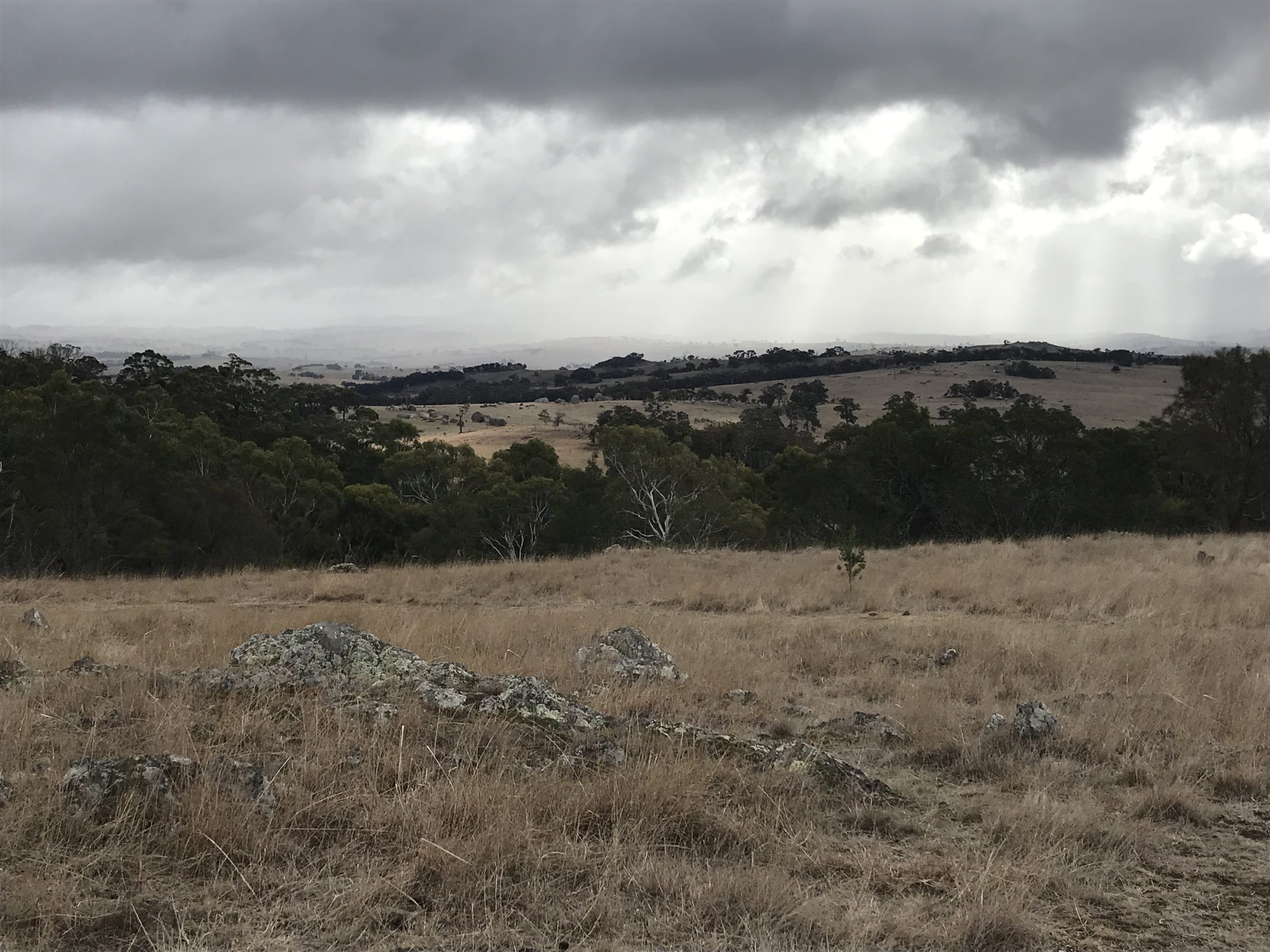
A biolink at the Mount William Range
This area is of highly valuable habitat and the green stone quarry at Will-im-ee Moor-ing (Mount William) is of high cultural significance to the Wurundjeri. A Common Dunnart was found in the biolink area in 2018, the first recorded sighting in 30 years. At around the same time two Phascogales were also recorded near Chintin. These animals require intact and connected vegetation to persist. While the native vegetation covering the hill sides to the east of the shire contain significant habitat value, the connectivity analysis shows that these areas are not functioning as a ‘connected landscape’.
The goal of this biolink project is to protect existing native vegetation and increase cover to improve connectivity between remnant patches on private land along the Mount William Range and waterways.
Actions include:
- Collaborate with local groups and agencies to identify priority areas, engage landholders, develop projects and seek funding
- Site visits and condition mapping to gain a better understanding of the condition of the ecosystems in this area
- On-ground management actions required includes fencing and rabbit and weed control to improve remnant vegetation and revegetation on private land to build and connect habitat
- Promotion of TfN and offset opportunities
- Continue running property management courses and environment events focused on landholders living in these areas
- Introduce a VPO to highlight importance of native vegetation in the landscape and prevent further loss or decline
- Continue support for Melbourne Water’s Stream Frontage Management Program and promote to landholders along Deep Creek, Number Three Creek and tributaries
- Implementation of Roadside Management Plan and focus area for roadside weed program
- Increase signage for significant roadside vegetation
Themes and Local Areas
| Primary Theme: | Native vegetation |
| Other Themes: | Native animals |
| Primary Local Area: | Macedon Ranges, Hume, Mitchell & Whittlesea |
| Other Local Areas: | – |
| Project location: | This biolink covers the Cobaws, across the Mount William Range through to the hills of Chintin |
| Scale of the project: | Landscape |
| New or continuing work: | New project/work |
Project partners
| Lead organisation: | Macedon Ranges Shire Council |
| Key partners: | Upper Deep Creek Landcare Network, Deep Creek Landcare, Upper Maribyrnong Landcare, Melbourne Water, Wurundjeri, Biolinks Alliance |
| Registered Aboriginal Party/s relevant to the project or its area: | Wurundjeri Woi Wurrung Cultural Heritage Aboriginal Corporation |
Investment opportunities
| Opportunities for investors within this project start from: | $$ (Tens of thousands of dollars) |
| Estimated scale of investment for full project implementation: | $$$$ (Millions of dollars) |
| Estimated timeframe for full project implementation: | 10+ years |
Contribution toward targets
| Primary Regional Catchment Strategy target: | Major new biolinks – Significant, sustained revegetation programs have been undertaken from 2021 to 2050 and have created numerous major biolinks in priority locations across the region |
| Relevant Biodiversity 2037 goal: | Revegetation of priority areas for connectivity between habitats |
| Relevant National Landcare Program priority: | Soil, biodiversity and vegetation – Projects that will protect and enhance on-farm remnant native vegetation |
More information
Macedon Ranges Shire Council at kpmajoor@mrsc.vic.gov.au